



Dynamic Map Platform Co., Ltd. (Head Office: Shibuya-ku, Tokyo; CEO & President: Shuichi Yoshimura; “Dynamic Map Platform”) today announced the public release of sample Road Coverage, Sign, and Asset Clearance data on Esri’s geographic information system (GIS) platform, ArcGIS.
The sample dataset is publicly accessible and features data from the state of Wyoming, allowing users to explore geospatial data extracted and developed from Dynamic Map Platform’s High Precision 3D Data.
The sample data is available at:
https://dynamicmapplat.maps.arcgis.com/apps/dashboards/b12417b48e744851ad9b6b4bf2a866d9
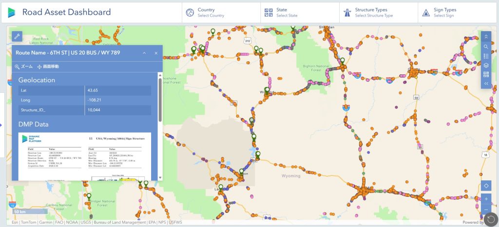
■Overview of the Sample Data
In July 2026, Dynamic Map Platform joined the Esri Partner Network (EPN) and announced its strategy to provide geospatial datasets derived from High Precision 3D Data covering approximately 1.56 million kilometers across North America through ArcGIS.
As part of this initiative, Dynamic Map Platform has released a sample dataset covering the state of Wyoming, enabling users to directly explore roadway-related datasets extracted and developed from High Precision 3D Data. The sample dashboard includes information on road coverage, roadway signs, and asset clearances.
The following datasets are included:
- Road Coverage
- Signs
- Asset Clearance
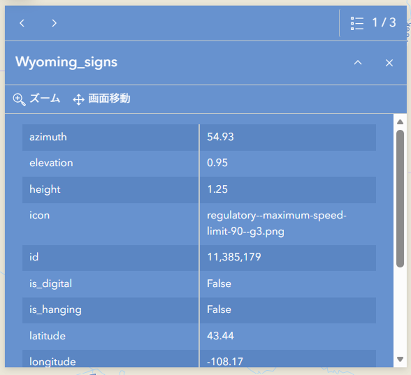
Within the Sign dataset, users can view not only sign locations but also attributes such as height, orientation, sign type, and speed limit values. This enables roadway managers and infrastructure operators to digitally understand and manage roadway sign information.
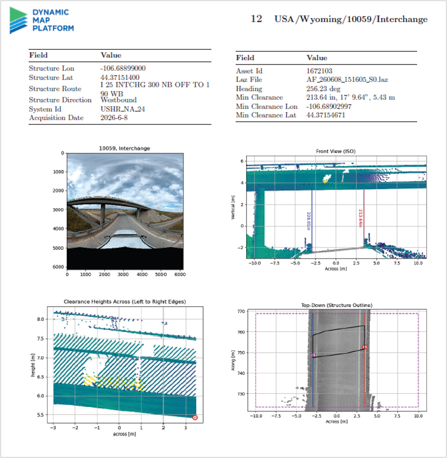
The Asset Clearance dataset provides vertical clearance information for roadway structures such as tunnels, overpasses, and other roadway structures. This information can support oversized vehicle route planning and infrastructure management activities.
■Expanding Applications in Roadway and Infrastructure Management
The Sign and Asset Clearance datasets included in this sample are generated from the High Precision 3D Data that Dynamic Map Platform has developed for automated driving applications. High Precision 3D Data contains information not only about roadway geometry, but also about roadway signs, roadside assets, and other infrastructure elements. Dynamic Map Platform extracts and organizes this information into datasets such as sign inventory and asset clearance data.
In addition to applications for automated driving and advanced driver assistance systems (ADAS), these datasets have potential uses in roadway management, infrastructure maintenance, disaster preparedness, urban planning, and other fields. Through this sample release, users can explore the types of information that can be extracted and developed from High Precision 3D Data.
Dynamic Map Platform will continue expanding the availability of geospatial datasets derived from High Precision 3D Data through the ArcGIS ecosystem and support broader utilization of spatial data across infrastructure-related industries.
【Related Information】
In conjunction with this sample release, Dynamic Map Platform has also published a companion article introducing examples of roadway information that can be extracted and developed from High Precision 3D Data, including roadway sign data and other roadway-related information.
- Column「Road Sign Types and Speed Limits Included? Exploring the Roadway Information Contained in High Precision 3D Data」
https://www.dynamic-maps.co.jp/en/column/road-sign-types-and-speed-limits-included-exploring-the-roadway-information-contained-in-high-precision-3d-data/
