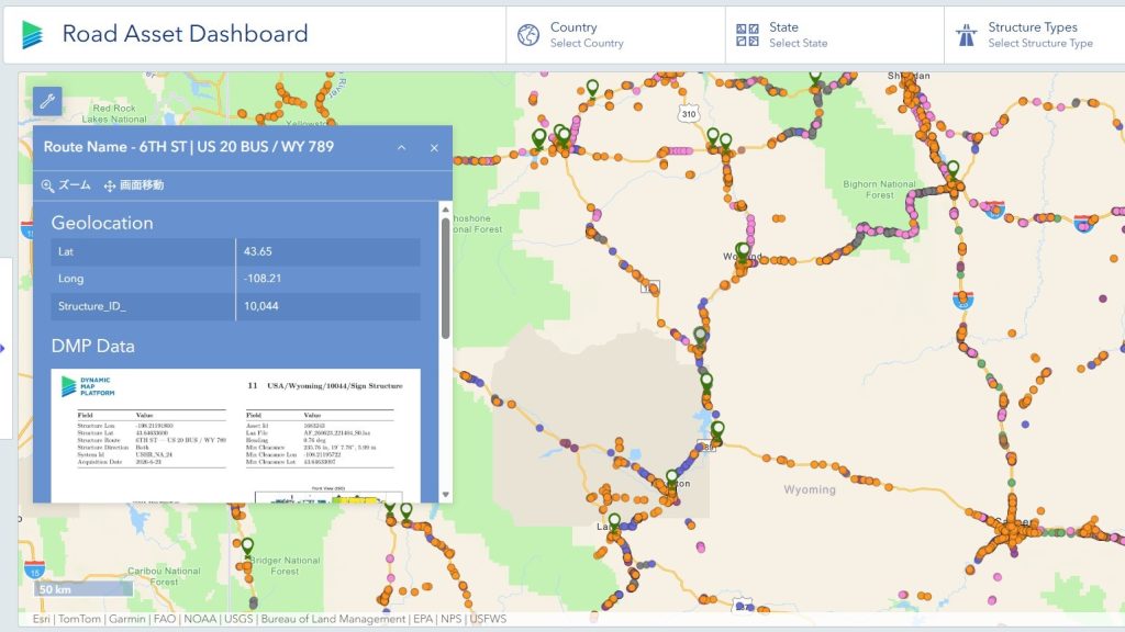



We have published a new article, “Road Sign Types and Speed Limits Included? Exploring the Roadway Information Contained in High Precision 3D Data” to the COLUMN section of our website.
In July 2026, Dynamic Map Platform joined the Esri Partner Network (EPN) and announced its strategy to provide geospatial datasets derived from High Precision 3D Data covering approximately 1.56 million kilometers across North America through ArcGIS. In August, the company also made sample datasets related to Road Coverage, Signs, and Asset Clearance for the state of Wyoming publicly available on ArcGIS.
This column introduces the types of roadway information contained within High Precision 3D Data, using the newly released sample datasets as examples. It highlights how information such as roadway sign types, speed limit values, and bridge clearance data can be extracted and developed from High Precision 3D Data.
Please check it out.