




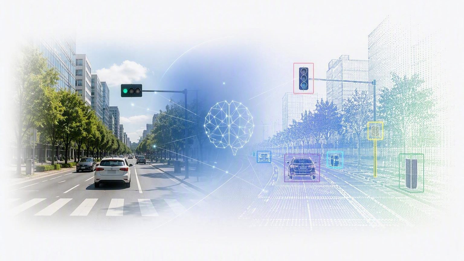
Most AI discussions focus on language models and chatbots. However, many of the most important AI applications involve understanding the physical world. This paper explains how machines transform sensor data into meaningful information about roads, infrastructure, and physical assets.
The Challenge of Machine Understanding
Humans recognize roads, signs, buildings, and infrastructure without conscious effort. A glance at a street scene is enough to identify a curb, a stop sign, or a utility pole, even in poor lighting or from an unusual angle. Machines have no such intuition. Everything a machine “knows” about the physical world has to be learned from data, by finding patterns across large numbers of examples until an internal notion of what a curb or a sign looks like begins to emerge.
This is a different kind of problem than the language understanding that dominates most AI discussions today. Language is symbolic: words follow a grammar, and meaning is built from a fixed, discrete vocabulary. The physical world offers no such structure. The appearance of a stop sign changes with lighting, weather, viewing angle, and wear, and there is no fixed set of tokens a machine can simply look up. Physical-world understanding is a geometric and perceptual problem, grounded in sensor measurements, rather than a linguistic one, and it requires a different set of building blocks.
The Building Blocks of AI
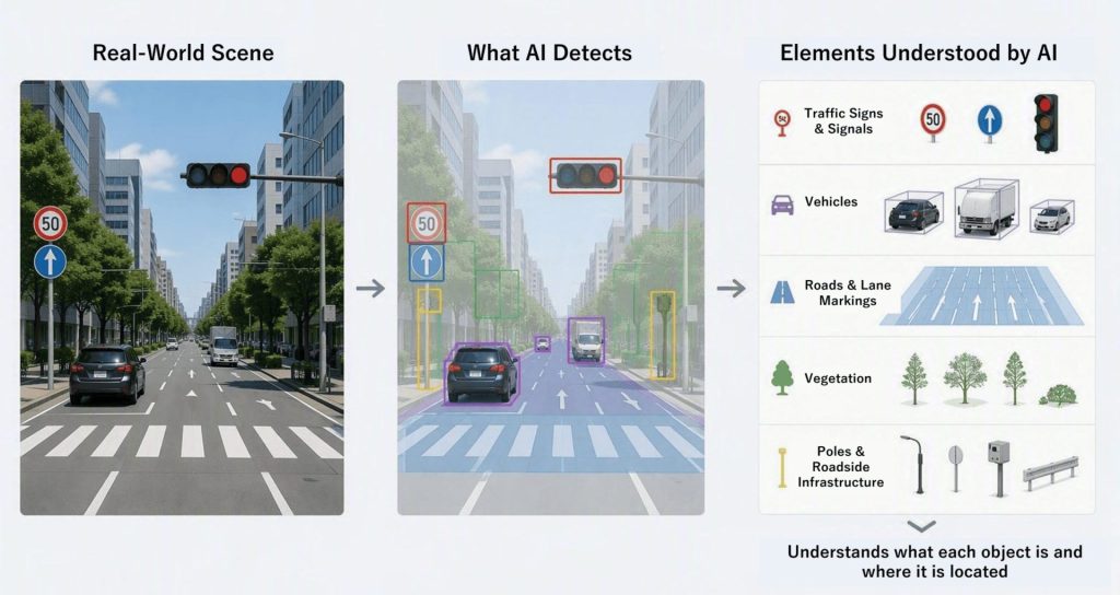
A small set of core capabilities, applied to infrastructure, does most of the work of physical-world understanding.
Classification assigns a label to something already identified, such as recognizing that a particular sign is a stop sign or that a pavement marking is a crosswalk. Detection finds where objects of interest are located within a scene, locating curbs, barriers, and utility assets as they appear in a road corridor. Segmentation goes a step further, separating road features from background clutter so that pavement, sidewalk, and vegetation are each distinguished rather than lumped together. Estimation infers properties that are not directly labeled but must be computed, such as an object’s dimensions, its precise location, or its geometry.
These four capabilities, classification, detection, segmentation, and estimation, already appear throughout Dynamic Map Platform’s AI framework, and they recur in different combinations to produce the maps and asset inventories.
Why Lidar Matters
Images capture appearance: color, texture, printed text, and the visual detail that makes an object recognizable. But an image is a flat, two-dimensional projection of the world, and a single photograph cannot on its own say how far away an object is or how large it truly is. Lidar complements imagery by capturing geometry directly, recording the precise three-dimensional position of the surfaces a laser pulse reflects off.
This three-dimensional information is essential because most practical questions about infrastructure are spatial ones: how wide is the lane, how tall is the sign, exactly where does the curb run. Imagery alone can identify what something is but not reliably measure it, and lidar alone can measure a surface precisely but cannot say what that surface represents. Neither source is sufficient by itself; the two have to be brought together.
Connecting Images and LiDAR
Dynamic Map Platform connects images and lidar through a process called registration. The idea can be summarized without the underlying mathematics: the image helps answer the question, What is it? The lidar helps answer the question, Where is it? Registration connects those two answers, taking an object identified in a camera image and locating it precisely within the three-dimensional lidar point cloud.
Once an image and its corresponding lidar data are registered, everything recognized in the image, a sign, a curb, a utility asset, inherits an accurate three-dimensional position from the lidar. Registration is what allows the building blocks of classification, detection, segmentation, and estimation to operate on a picture while producing results that are usable as real-world, geographically located measurements.
Building Spatial Intelligence
Put together, these pieces form a pipeline. AI models apply classification, detection, segmentation, and estimation to images, point clouds, and other sensor measurements. Registration ties the results from images to their precise locations in the lidar data. The output is no longer raw sensor data but structured, usable information: maps, asset inventories, and digital representations of infrastructure that can be queried, measured, and maintained over time.
Conclusion
AI begins with perception. Before machines can reason about the world, they must first learn to understand it. Spatial Intelligence represents that first step.