
Dynamic Map Platform Co., Ltd.
BIPROGY Inc.
NEXT Logistics Japan, Ltd.
Yamato Transport Co., Ltd.
The following four companies have developed a data coordination system that supports autonomous driving (hereinafter this “System”) for the open call by the New Energy and Industrial Technology Development Organization (NEDO, a national research and development agency) called the Digital Infrastructure Development Project for Digital Transformation of Industries/R&D for Infrastructure for Advance Implementation of Digital Lifelines:
· Dynamic Map Platform Co., Ltd. (Head Office: Shibuya-ku, Tokyo; CEO & President: Shuichi Yoshimura; “Dynamic Map Platform”)
· BIPROGY Inc. (Head Office: Koto-ku, Tokyo; President & CEO: Noboru Saito; “BIPROGY”)
· NEXT Logistics Japan, Ltd. (Head Office: Shinjuku-ku, Tokyo; CEO & President: Yukio Umemura; “NEXT Logistics Japan”)
· Yamato Transport Co., Ltd. (Head Office: Chuo-ku, Tokyo; President: Yutaka Nagao; “Yamato Transport”)
This System contributes to optimizing logistics by helping autonomous driving trucks run safely and conduct joint transportation smoothly.
From Tuesday, February 25, to Thursday, February 27, 2025, driving demonstrations using an autonomous driving truck will take place between the Surugawan-Numazu and the Hamamatsu Service Areas on the Shin-Tomei Expressway. These driving demonstrations will test how safely an autonomous driving truck can run and how efficiently it can conduct joint transportation when using this System.
■ Overview of field testing
| Duration | Tuesday, February 25 – Thursday, February 27, 2025 |
| Target area | Between the Surugawan-Numazu and the Hamamatsu Service Areas on the Shin-Tomei Expressway |
| Demonstration details | ・Make an optimal operation plan for joint transportation ・Help autonomous driving vehicles run safely ・Adapt the operation plan to changes in the driving environment ・Support emergency response |
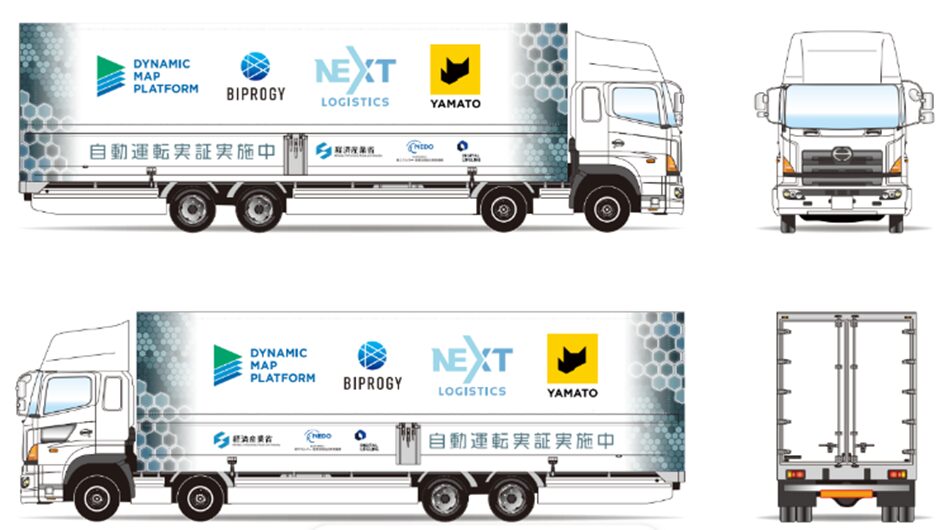
*The driving demonstrations will use an autonomous driving truck by Advanced Smart Mobility Co., Ltd. (RoAD to the L4).
*During these demonstrations, Level 2 autonomous driving will be performed with a driver on board.
■ Overview of the data coordination system that supports autonomous driving
·An autonomous driving support system that uses dynamic map information delivery
Dynamic Map Platform
Dynamic Map Platform developed a data coordination system that makes it possible to provide vehicles with high-precision weather information and road condition data, such as traffic, according to the shape of the road. This allows the vehicle to recognize information that cannot be detected by the vehicle alone from several kilometers away. Additionally, this system provides logistics companies with accurate location information of vehicles, making it useful for operation management and in scenarios where decisions for withdrawing vehicles are required during emergencies.
·A system that shares information on near-miss scenarios through simulation
BIPROGY
BIPROGY built a simulation environment using near-miss data obtained from vehicles and external systems, making it possible to provide various scenarios that help verify safety in the development phase of autonomous driving vehicles.
·A system that helps optimize joint transportation made with autonomous driving trucks in mind
NEXT Logistics Japan and Yamato Transport
NEXT Logistics Japan and Yamato Transport developed a system that matches cargo with the available space in trucks by entering the data required for joint transportation, such as cargo information and space availability in trucks, and an API that connects consignors with logistics companies. This enables logistics companies to improve the loading efficiency and capacity utilization rate of their trucks.
In addition, they created an environment that integrates this system, an autonomous driving remote monitoring system, and the autonomous driving support system developed by Dynamic Map Platform. Furthermore, they implemented a traceability management design for joint transportation by developing a system that helps prevent unauthorized coupling of trailers and unauthorized pick-up by people impersonating consignors during joint transportation.
[Reference]
■ Selection background and purpose
Reviewed by the Ministry of Economy, Trade and Industry (METI) and established in June 2024, the Digital Lifeline Development Plan aims to solve social challenges and promote industrial development using digital technologies by implementing digital lifelines, a new digital technology-based social infrastructure, throughout Japan. Particularly, laying roads that support autonomous driving services was considered one of the early harvest projects, a proactive initiative. In the field of logistics, there is a need to establish the linking infrastructure required for several measures, such as joint transportation and delivery as well as the utilization of autonomous driving trucks.
This project aims to build a digital infrastructure for the data coordination infrastructure group that enables data coordination across multiple companies and industries by developing a data coordination system that supports autonomous driving and providing the data sets required for the features common to the operations of each company. Furthermore, the aim is for this infrastructure to be used not only in the logistics field but also more broadly in diverse mobility areas.
■ Related press releases:
· Digital Lifeline Development Plan by METI
https://www.meti.go.jp/policy/mono_info_service/digital_architecture/lifeline_portal/index.html
· Selected as an organization to implement a NEDO project, the “Digital Infrastructure Development Project for Digital Transformation of Industries/R&D for Infrastructure for Advance Implementation of Digital Lifelines” -Field testing using level 4 autonomous driving trucks to be carried out in FY2024- (July 24, 2024)
https://www.dynamic-maps.co.jp/en/news/2024/0724.html